Valdoe Topographic Survey

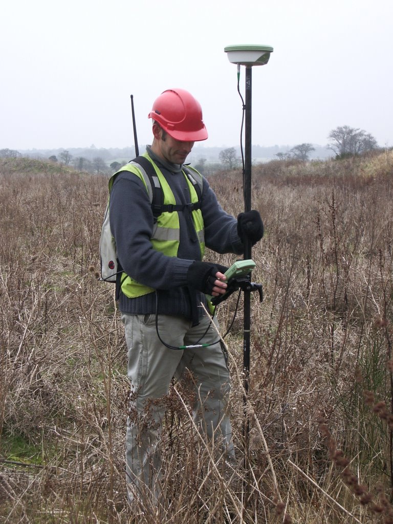
With the aid of Mark Tibble (Archaeology South East), an initial topographic survey of the Valdoe Quarry was undertaken. The aim of the survey was to provide an accurate and up-to-date snapshot of the quarry topography and layout prior to the commencing of any new extraction. In addition the survey provided a series of benchmarks around the quarry perimeter, these will allow the subsequent accurate surveying of boreholes, test pits and new extraction areas. The survey was extended beyond the perimeter of the quarry to tie into the surrounding landscape.The survey was undertaken using Leica GPS equipment which, given the open conditions of the quarry, was immensely more efficient than using a total station. The surveying marked the first phase of fieldwork in the Valdoe Assessment Survey, an occasion marked auspiciously by a Spitfire fly-past from the nearby Goodwood airfield at the close of play on the first day.
posted by mip at 2:25 PM
2 comments
![]()
![]()
